
Onondaga Neighbors Block Sources
A block search has several distinct layers. The parcel viewer shows map relationships and tax parcels. An assessment card adds a dated owner-of-record field, situs, tax-map number, class, and deed reference. Recorded instruments can document a transaction, and library material can supply historical context. None creates a complete list of the people around an address. The right question is usually about the parcel, the time period, or the local geography, not an assumption about every household nearby.
| Source | What It Shows About a Block | Access |
|---|---|---|
| County GIS viewer | Tax-parcel shapes, map layers, and an address or parcel discovery lead | Public online viewer |
| Image Mate | Assessment owner, situs, mailing category, class, and deed book or page when shown | Public assessment search, verify with Town assessor |
| County tax maps | Official parcel-boundary reference and map-number context | In person, individual map purchase, or full map set route |
| County Clerk records | Recorded deed or mortgage event and legal-description continuity | Guest index, account or copy route, and counter research |
| OCPL and Town historical sources | Dated directory, newspaper, cemetery, map, or family-history context | Library and collection access |
For Onondaga neighbors, distinguish the assessment owner from a current occupant and a mailing address from the parcel situs. A parcel can be owned by an estate, trust, or person who receives mail elsewhere. A nearby map shape also may not touch the anchor parcel at all. These are record limits, not missing details to fill in by guesswork.
Map Onondaga Neighbor Parcels
Start with one confirmed address or tax-map number and use the county viewer to identify its parcel. Then make a modest four-direction inventory: north, east, south, and west. For each side, note the touching parcel or the road, water, right of way, or other separation. Add the parcel ID, situs, municipality, class, deed reference, district layers, and a confidence note. This stays focused on land records instead of creating a people list.
- Find the anchor parcel by address or tax-map number in the GIS viewer and save the parcel identifier.
- Identify each direction around the parcel. Record a physical separation rather than calling every nearby polygon adjacent.
- Check the assessment card for the parcel’s dated owner field, situs, class, and any deed book or page.
- Use the Clerk index only when a recorded ownership event or legal description needs confirmation. For a complete named-street workflow, use the Onondaga street directory.
The Onondaga County GIS viewer is the starting map for parcel, layer, and address discovery.
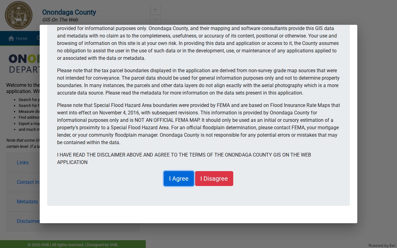
The viewer supplies a geographic lead for neighbors who need to understand the block. Official tax maps and the legal description are the needed checks when a boundary, road, shared access area, or parcel split affects the apparent block relationship.
Onondaga GIS Parcel Caveats
Onondaga’s parcel polygons were digitized from paper maps in 1995, received CAD updates from 1996 through 2024, and moved to ESRI in 2024. The data includes a 26-character Tax ID. Those details make the viewer useful for a block inventory, but they also explain why a click alone is not a legal boundary determination. The county’s metadata warns that condominium polygons can overlap, so a point-in-polygon search can return more than one record.
Image Mate and the assessment-roll links provide a second check. Image Mate’s documented search routes are Tax Map Number, Owner Name, Property Address, and Mailing Address, with a one-item-at-a-time tip. The county says public assessment information comes from town assessors and can change during the year. The Town of Onondaga assessor is the verification point when a viewer, roll, or card conflicts. Tax maps are updated each March, and the county makes maps available in person as well as through its map products.
Use the tax-map number as the bridge among the GIS viewer, assessment card, and deed index. A familiar street name or a blue map pin is less reliable. This is especially important where a map shows a road, water, or right of way between parcels that appear close together.
Onondaga Neighbor Geography
The Town has useful official geographic labels, but they are not a roster and should not be treated as legal neighborhood boundaries. Cedarvale, Howlett Hill, Navarino, Nedrow, Onondaga Hill, Sentinel Heights, South Onondaga, Southwood, Split Rock, and Taunton are the Town’s named areas. A hamlet label can help neighbors select an old directory term, map, or historical collection, then the parcel and municipal boundary can test the exact location.
| Community Layer | Useful Block Question | Documented Limit |
|---|---|---|
| Official hamlet or area name | Which Town label may help search a street, newspaper, or local collection? | Not necessarily a legal neighborhood or postal zone |
| Volunteer fire-district context | Which civic geography may help identify a dated event or service area? | Confirm current names and boundaries; no member roster was found |
| Parks and community groups | Which public contact may serve Town organizations? | Resident-status information is not a membership directory |
| City of Syracuse neighborhood resource | Does a city association resource cover the parcel? | No. It applies to the City, not the Town of Onondaga |
No official Town HOA or neighborhood-association directory was located. The Town parks contact for qualifying organizations is 315-469-3464, while the County Office for Aging Neighborhood Advisors offers confidential outreach at 315-435-2362. Neither service provides a household or member list. The Syracuse postal name used by many Town addresses makes the city-versus-town distinction especially important.
Onondaga Neighbor District Limits
Election data is useful as geography, not as a block roster. The New York voter lookup uses county, last name, first name, date of birth in MM/DD/YYYY form, ZIP, and address information for an individual search. When a confirmed address is entered by the voter, a result may help identify a polling place or election district. It cannot establish every person who lives near that address, and a result can change with registration maintenance or confidentiality.
Election Law §3-220 permits public access under Board supervision while withholding driver-license numbers, non-driver IDs, Social Security numbers, and facsimile numbers. The Onondaga County Board of Elections is the local route for polling, district, update, and existing-record questions. Preserve the election year and source date, and do not publish individual voter names as a list of neighbors.
Note: A polling district is civic geography, not proof that each nearby parcel shares the same residents, household, or municipal boundary.
Historic Onondaga Block Clues
For a past block, move from the current parcel back to dated sources. The Onondaga County Public Library Local History & Genealogy collection holds directories, phone books, newspapers, obituary indexes, WPA files, Pioneer Index material, and local family files. Search the hamlet, street spelling, and year together. Syracuse city-directory volumes cover 1844 to the present in changing formats, but their title does not guarantee that a Town address was included.
The Town of Onondaga Historical Society and the Town Museum can add burial, family, church, newspaper, map, and poorhouse context. Museum materials include Poor House Ledgers from the 1830s through the 1960s, but access, names, and reproduction permissions must be requested. A historical source can describe an older association with a road or area without identifying people who live there now.
Direct Town coverage was not located for the Library of Congress Syracuse 1892 Sanborn volume. Use it only as nearby urban context when a place actually falls on the mapped Syracuse sheet. The absence of a Town map hit is a research gap, not permission to extend city coverage over the Town.
Official and Commercial Neighbor Sources
Official sources state their record purpose and often preserve a query path, date, and custodian. Commercial neighbor tools may combine data from many sources, but their match, update, and address categories can be unclear. The safer approach is to use an official parcel or assessment lead, then confirm a recording or historical fact with the responsible office. A search result should be no broader than the question it answers.
| Source Category | Strength | Limit to Keep Visible |
|---|---|---|
| Official GIS and tax map | Shows the parcel relationship and tax-map context | Map proximity does not identify a household |
| Assessment or deed record | Provides a dated ownership or recording trail | Owner and mailing fields are not an occupancy finding |
| Election district information | Can place a confirmed address in civic geography | Not a voter list or current-residence guarantee |
| Commercial neighbor category | May offer a starting name or address lead | Verify its date and identity with an official custodian |
Keep an inventory to parcel IDs, map sources, dated record roles, and uncertainty. That produces a useful block history without exposing unrelated people or claiming more than the record says.
Onondaga Neighbor Privacy Limits
There is no official complete adjacent-parcel export, neighborhood roster, or current household-by-block list for the Town. A Town FOIL request may seek an existing municipal record, but it cannot require staff to create a neighbor list. Focus a request on an identified file, address, tax-map number, date range, or record series. Utility, delivery, protected voter, sealed court, and similar personal information do not become public because parcels are close together.
New York’s Address Confidentiality Program under Executive Law §108 can require a substitute address in government records. An omitted address or a substitute address is a lawful protection, not a gap to work around. If a record appears wrong, contact its custodian for a correction or authorized privacy review. Do not infer a person’s location from a mailing field, an election district, or a map marker.
Lawful use. Use block records for personal, lawful research and community history. Never use them to stalk, harass, threaten, impersonate, or expose protected personal information.